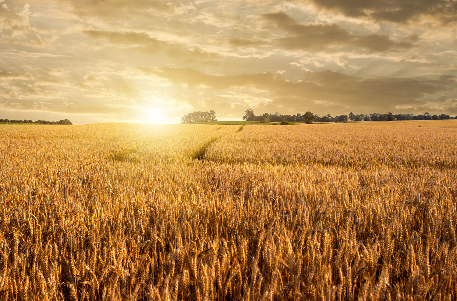
Did you know that drone technology is revolutionizing how we fertilize wheat crops?
By using drones equipped with advanced imaging systems, farmers can precisely identify areas in their fields that need more or less fertilizer. This targeted approach not only maximizes the efficiency of fertilizer use but also significantly reduces environmental risks such as leaching and run-off.
The process begins with a drone capturing detailed images of the field. These images are then analyzed using Geographic Information System (GIS) programs like ArcGIS. The resulting vegetation index maps reveal the specific needs of different areas in the field. A spraying drone can then apply the exact amount of fertilizer required, ensuring optimal growth.
This innovative technique not only protects the environment but also cuts costs and boosts wheat yields, making it a game-changer in sustainable agriculture.
Optimizing Wheat Fertilization with Drones
Content Author: AUA
